2005 Ohio River Flood at Portsmouth
- Title
- 2005 Ohio River Flood at Portsmouth
- Description
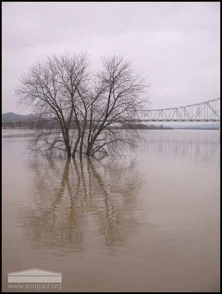
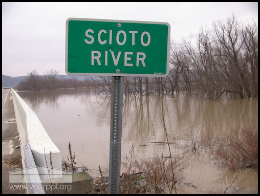
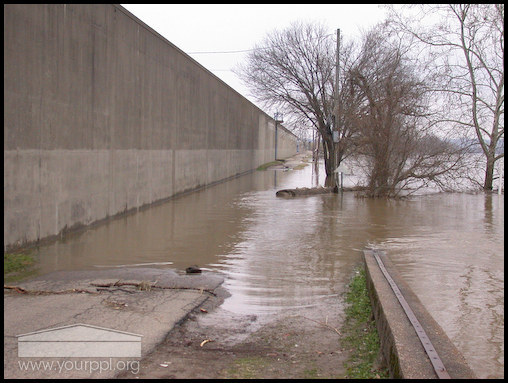
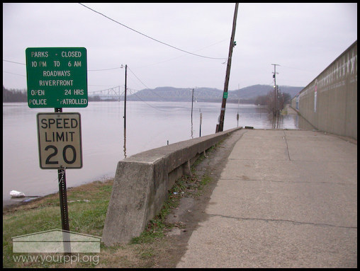
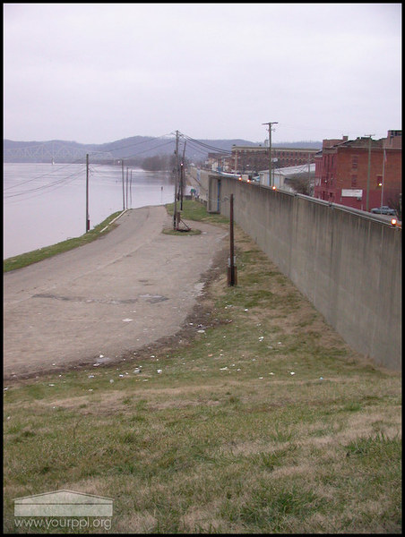
- The Ohio & Scioto Rivers rose to flood stage, January 2005. The waters of the Ohio River made contact with Portsmouth's floodwall,the first time since 1997. Some city floodgates were closed due to the rising water.
- Contributor
- Terry Stevenson II
- Rights
- View our usage restrictions.
Collection Items
-
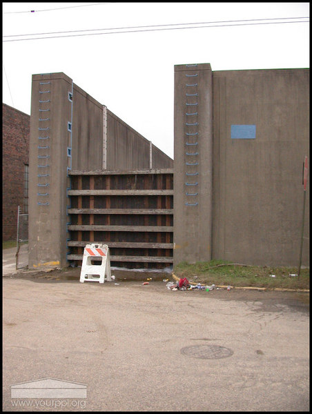
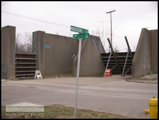
Portsmouth Floodgates - West End
Floodgates were closed at several locations along the floodwall due the the rising Ohio River. -
Portsmouth Floodgates - West End
The floodgates were closed at several locations along the floodwall due to the rising Ohio River. -
U.S. Route 52 over the Scioto River
U.S. Route 52 Bridge over Scioto River -
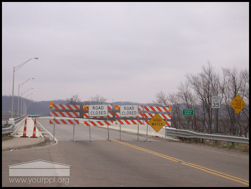
US Route 52 over Scioto River
US Route 52 over the Scioto River, closed due to high water. -
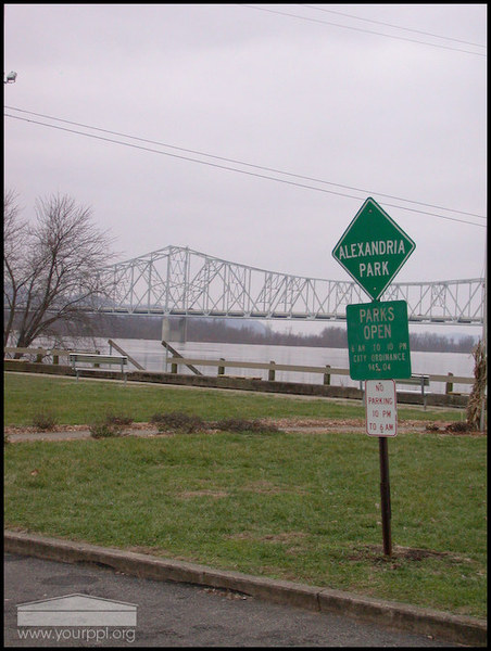
Alexandria Park looking West
Alexandria Park, looking toward the Carl Perkins Bridge. -
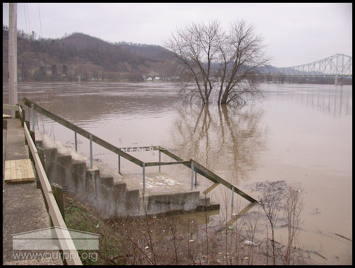
Alexandria Park - Portsmouth, Ohio
Alexandria Park under water. -
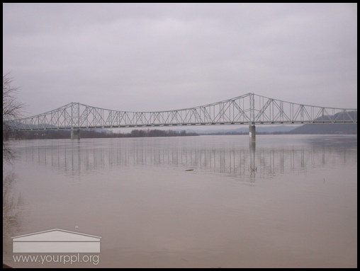
Carl Perkins Bridge over the Ohio River
Looking west toward the Carl Perkins Bridge. -
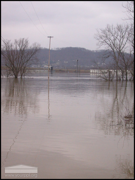
Scioto River looking west
The flooded area near the confluence of the Scioto & Ohio Rivers, looking west. The Coleman Raceway in the background. -
Looking west over Ohio River
The Ohio River at flood stage, looking west toward the Carl Perkins Bridge. -
Scioto River
The flooded Scioto River off of US Rt. 52. -
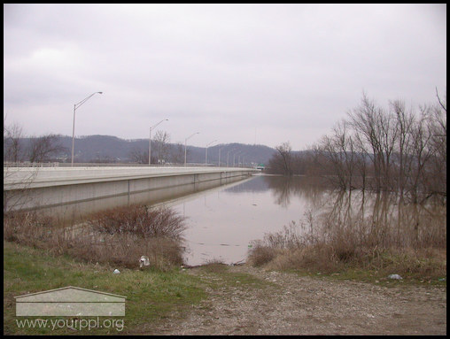
Portsmouth Floodwall
The Portsmouth floodwall looking east. -
Portsmouth Floodwall looking West
The Portsmouth floodwall looking west toward the Carl Perkins Bridge.
Collection Tree
- Flood Photos
- 2005 Ohio River Flood at Portsmouth

